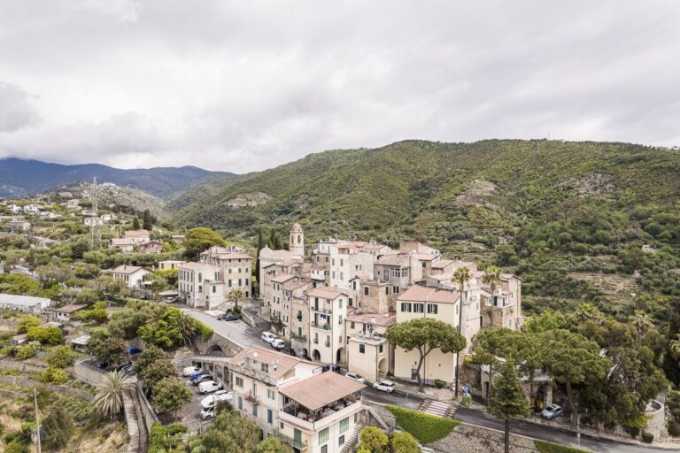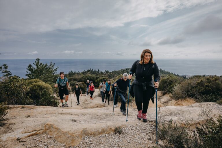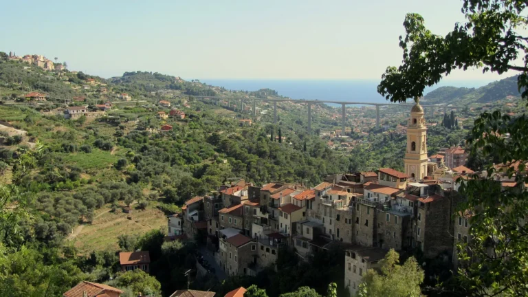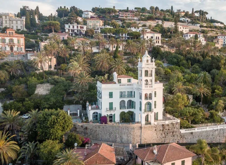


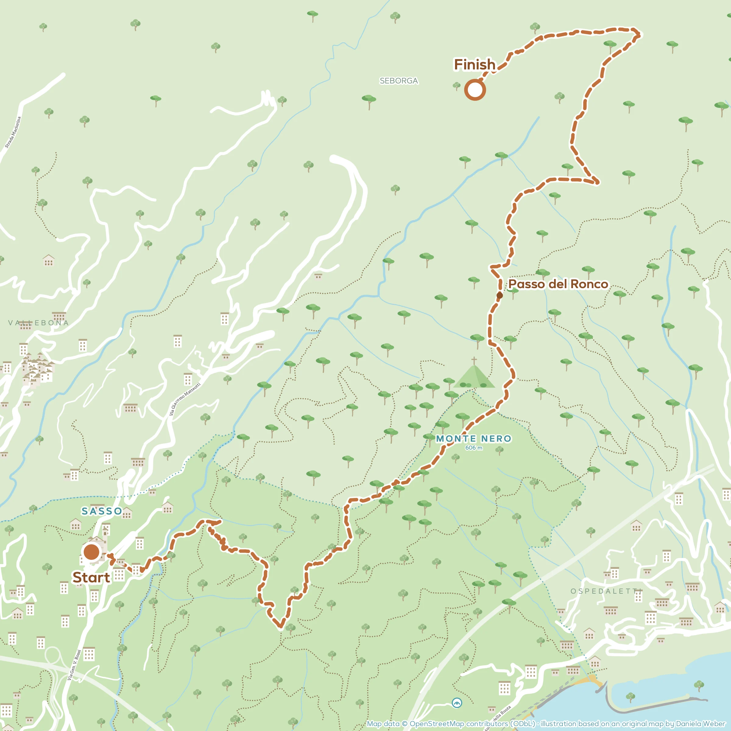


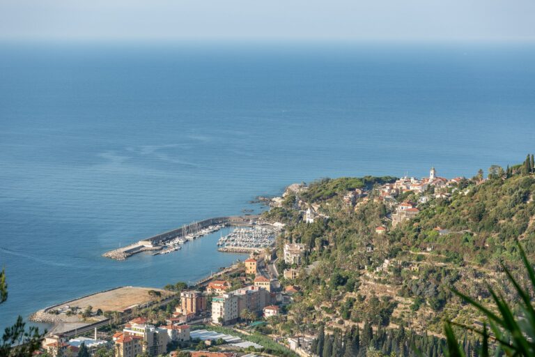
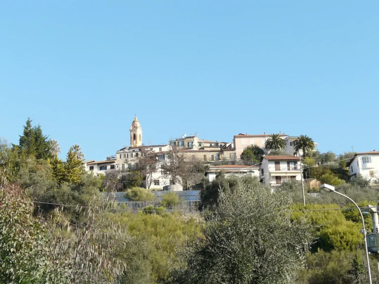
A walk through greenery, almost entirely in the woods: you set off from the village of Sasso, climb a side valley through scrub of myrtle, mastic and strawberry trees to the slopes of Monte Nero, skirt the mountain to the west and reach Passo del Ronco, from where a path descends through dense woods to the Principality of Seborga.
You return on foot along the mule tracks of Sasso or by bus. You can reach Sasso on foot from Bordighera, following the first part of the walk from Bordighera to Sasso and Seborga, or by bus.
The route at a glance
- Length: about 7.5 km one way
- Elevation gain: about 550 metres of ascent
- Walking time: 4 hours, excluding stops
- Difficulty: E (hiking): paths that can be steep and uneven, some fitness required
- Best time to go: autumn, winter and spring
Please note: the route follows the Town Council’s trail map “On the paths of Clarence Bicknell and the English”. The Town Council and the Bordighera branch of the CAI (Italian Alpine Club) are checking the trail network: some sections may have changed or been closed. Before you set off, ask for information at the IAT tourist office or the CAI, and use the GPX track as a rough guide only.
The route step by step
From Sasso to the side valley
In Sasso go round behind the parish church and take the downhill mule track on the left, which passes under the provincial road and descends between greenhouses and houses to the valley floor, in via Silvio Pellico. Cross the bridge over the stream and, before the barrier, climb a few metres to the left up the concrete ramp, then turn left straight away onto the path between the terraces.
After a series of hairpins you come back onto the concreted ramp and follow it to the left, climbing steeply. After about a hundred metres turn right and continue along the old mule track that climbs to the left, leaving the level dirt road on your right.
Through the woods to the fire-fighting reservoir
The path climbs through Mediterranean woodland among myrtle, mastic, strawberry trees and broom. You pass a stone ruin and keep climbing to the firebreak track, where you turn right. This brings you to the slopes of Monte Nero and the fire-fighting reservoir, a crossroads of many paths.
Passo del Ronco and Seborga
Climb northwards to a wide fork, where you turn left towards Passo del Ronco and Seborga (signpost). The broad dirt road climbs round the west side of the summit of Monte Nero, through woods of strawberry tree, holm oak and maritime pine; further on some stretches of mule track are badly gullied by water.
At Passo del Ronco leave the dirt road and take the path on the left, descending towards Seborga. Past a few gullied spots, you continue through dense woods; after crossing a brook you climb back up the opposite, sunny slope, and soon reach Seborga.
Before you set off
- What to bring: Walking boots with a good sole, poles (very useful on the stretches gullied by water), plenty of water and a hat.
- In summer: the slopes face south and it gets very hot: set off at dawn or choose another time of year.
- Getting back: by bus from Seborga to Sasso or Bordighera (Riviera Trasporti, only a few buses: check the timetable), or on foot along the mule tracks and lanes that lead down towards Sasso, as in the walk from Bordighera to Sasso and Seborga.
- Water: there are no drinking fountains along the route.
- Before setting off: ask about trail conditions at the IAT tourist office or the Bordighera CAI.
Frequently asked questions
How long does the walk from Sasso to Seborga via Passo del Ronco take?
About four hours of walking, one way, for about 7.5 kilometres and about 550 metres of ascent.
Where is Passo del Ronco?
On the ridge north of Monte Nero, at about 560 metres, between the Sasso valley and Seborga.
Can you do it in the opposite direction?
Yes, starting from Seborga you descend towards Sasso: the gradients are the same, but going downhill the stretches gullied by water call for even more care.
Safety notes: Some stretches of path have been gouged by water into deep ruts, awkward and demanding, especially after rain. There are no drinking fountains along the route. The bus back from Seborga runs only a few times a day.