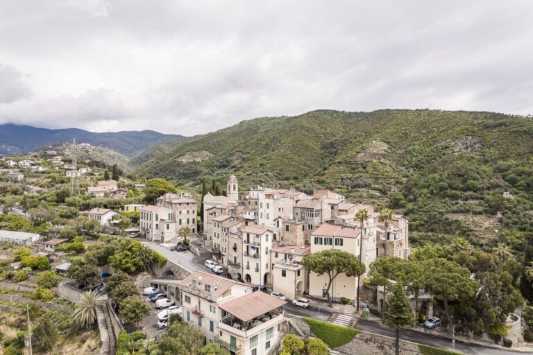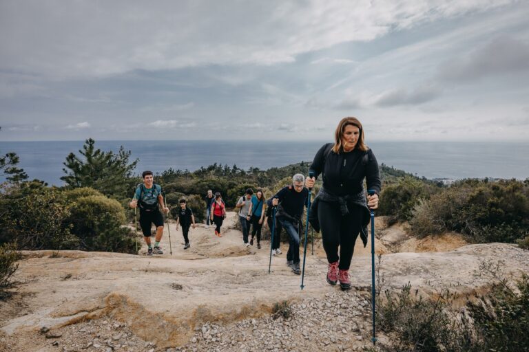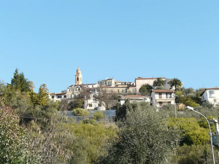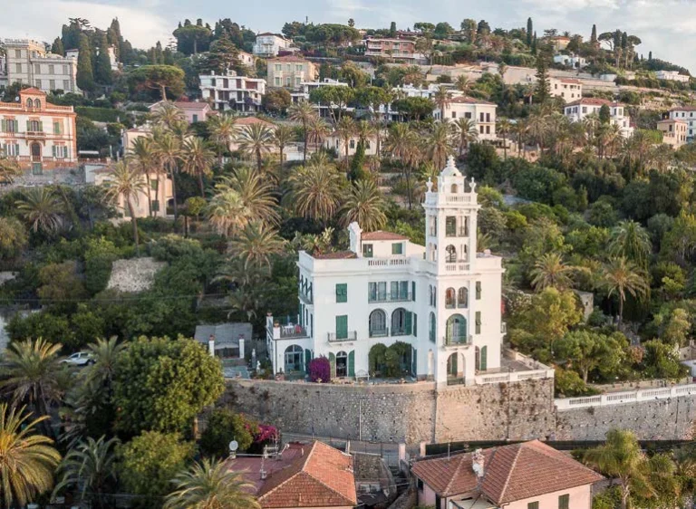


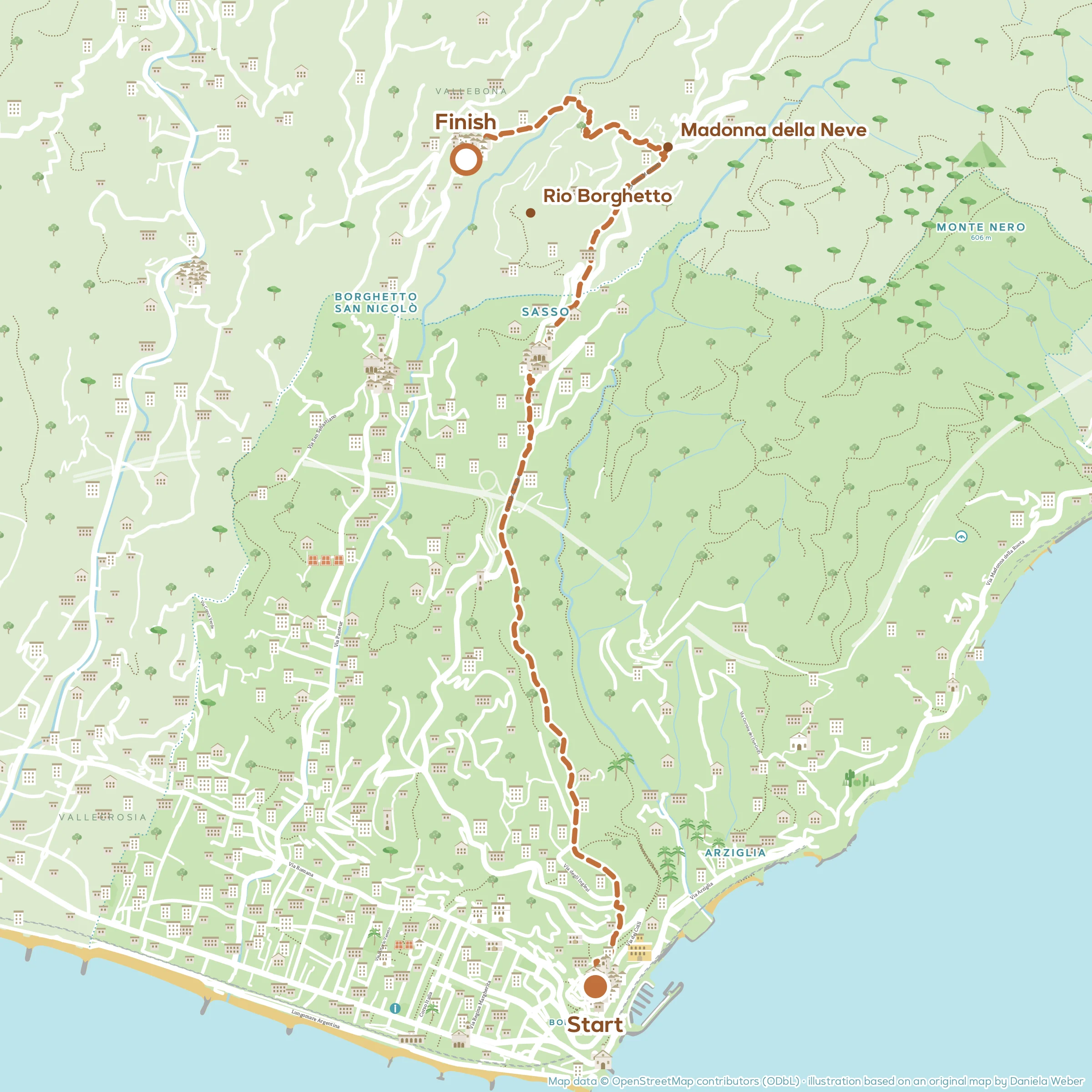



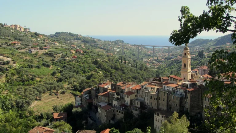
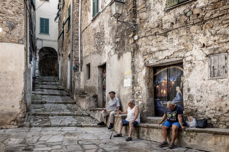
This walk links three villages in the hills of Bordighera: you climb to Sasso along the mule tracks of English Bordighera, reach the church of Madonna della Neve and from there descend into the valley of the Rio Borghetto, among terraces of mimosa and woods of Aleppo pine, to the old village of Vallebona.
You return by bus or on foot, through Borghetto San Nicolò.
The route at a glance
- Length: about 5.6 km one way
- Elevation gain: about 260 metres of ascent
- Walking time: 2 hours 30 minutes, excluding stops
- Difficulty: E (hiking): paths that can be steep and uneven, some fitness required
- Best time to go: autumn, winter and spring
Please note: the route follows the Town Council’s trail map “On the paths of Clarence Bicknell and the English”. The Town Council and the Bordighera branch of the CAI (Italian Alpine Club) are checking the trail network: some sections may have changed or been closed. Before you set off, ask for information at the IAT tourist office or the CAI, and use the GPX track as a rough guide only.
The route step by step
From Bordighera Alta to Sasso
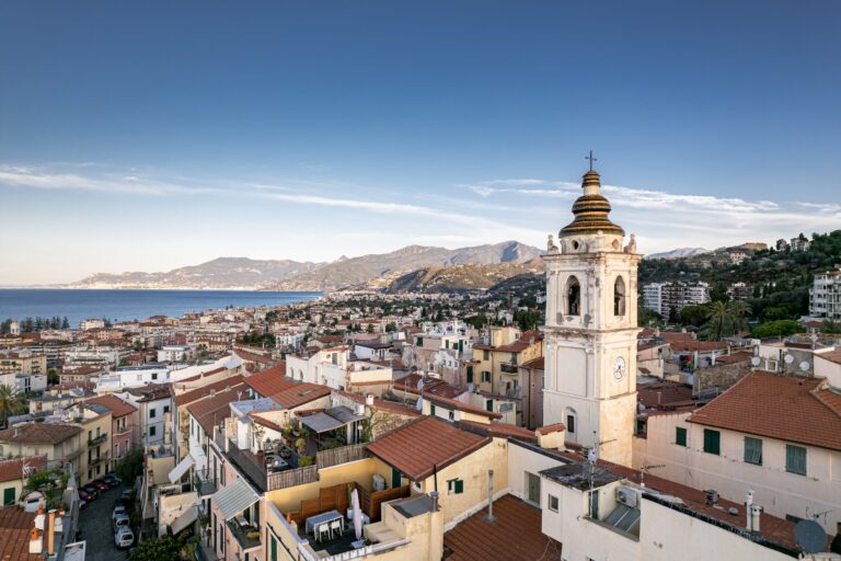
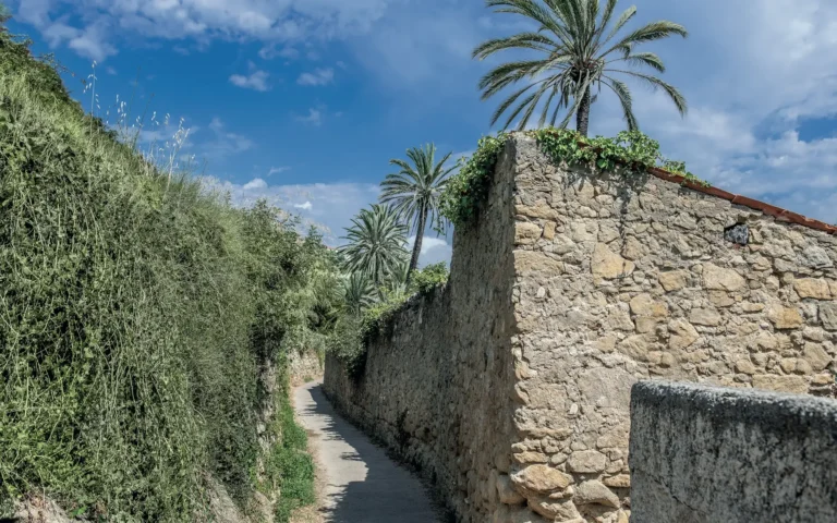
The first part is the same as the walk from Bordighera to Sasso and Seborga: from Bordighera Alta along via Madonnetta and the mule track of via Corombeire, then via degli Inglesi and via Penne Nere to the church square in Sasso.
Up to Madonna della Neve
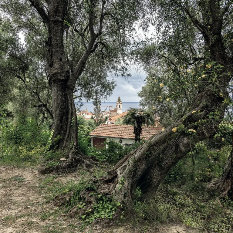
From the square climb via Cairoli, keeping left at the first fork, up to the provincial road. Cross it and continue along the mule track opposite, among olive groves and terraces of broom, with a wide view over the valley. Leaving strada Gavaudan on your left, follow the provincial road to the church of Madonna della Neve.
The descent to Vallebona
At the church turn left and go steeply down strada Riva, which soon becomes a dirt road. You meet another dirt road and follow it downhill, avoiding the turning on the left, skirting a house surrounded by greenhouses, with black sheeting for ornamental foliage, and by terraces of mimosa, broom and pittosporum.
Carry on along the wide cart track, always ignoring the turnings to the left: it descends in broad hairpins through a Mediterranean wood of tall Aleppo pines. You reach the bridge over the Rio Borghetto, in via Ciaudada, and from here, turning left along via Scudier, you enter the old village of Vallebona.
Getting back
From Vallebona there is a regular bus to Bordighera. On foot, follow the provincial road to Borghetto San Nicolò: go down into the square below the road, on the left, and walk through the old centre. From piazza Alpini go down via Pastrengo to the valley floor, turn right into via Torrente along the Rio Borghetto and return to the provincial road. Continue south to Bordighera and at the roundabout turn left into via Romana to get back to the centre.
Before you set off
- What to bring: Walking boots with a good sole, poles (very useful on the stretches gullied by water), plenty of water and a hat.
- In summer: the slopes face south and it gets very hot: set off at dawn or choose another time of year.
- By bus: the Riviera Trasporti line between Vallebona and Bordighera station: check the timetable before you set off.
- Before setting off: ask about trail conditions at the IAT tourist office or the Bordighera CAI.
Frequently asked questions
How long does it take to walk from Bordighera to Vallebona?
About two and a half hours for 5.6 kilometres, passing through Sasso and Madonna della Neve.
How do you get back to Bordighera?
By regular bus from Vallebona, or on foot via Borghetto San Nicolò and the provincial road.
Is it a difficult route?
No, it is an easy walk, but you need suitable footwear: the descent to Vallebona is on a dirt track that is steep in places.
Safety notes: The descent to Vallebona is on a dirt road that is steep in places. If you walk back, the return follows the provincial road: watch out for traffic.