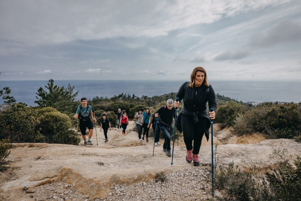


Behind Bordighera, above Arziglia and the Sasso valley, Monte Nero closes the horizon with its pine woods. It is the locals’ home mountain: at about six hundred metres high, a short distance from the sea, it is the destination for anyone looking for a real hike without leaving town, on foot or by mountain bike.
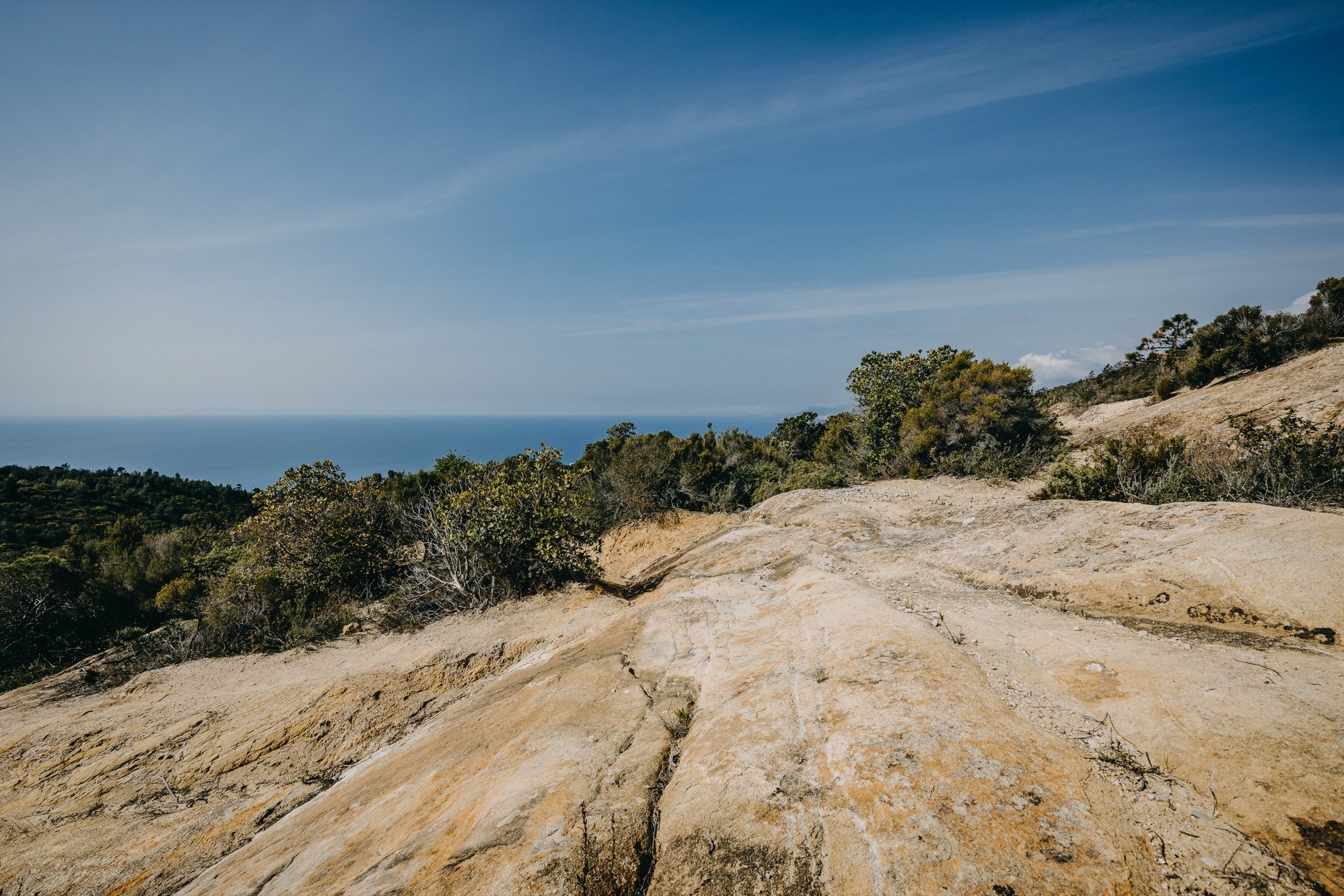
On its slopes lies the Cian d’Innamurai, the “lovers’ plateau” in dialect, the starting point of a network of waymarked trails. From here and from the viewpoints along the climb, the view runs along the coast from Ospedaletti to France, with Menton, the Principality of Monaco and, on clear days, Nice.
The volcano that isn’t
The name comes from the dark green of the pines that cover it. For generations, though, Monte Nero has carried a more mysterious reputation: according to a widespread belief it is the crater of an ancient extinct volcano. Among the rocks there is even a fissure called the ciotti fumosi, from which, some say, vapours once rose.
Geology tells a different story. Monte Nero is made of sandstone, the “Arenarie di Bordighera”: sands and gravels that around seventy million years ago, at the end of the Cretaceous, slid down a great submarine fan on the floor of a deep sea. With the formation of the Alps those layers were uplifted and folded, and today they form a large fold running from Arziglia to Monte Nero and Monte Carparo. There is nothing volcanic about it, in short; but a spring of sulphurous water, known for its therapeutic properties, really does rise on the mountain’s slopes and flows down to the sea near the Giunchetto beach.
What to see on Monte Nero
The Cian d’Innamurai
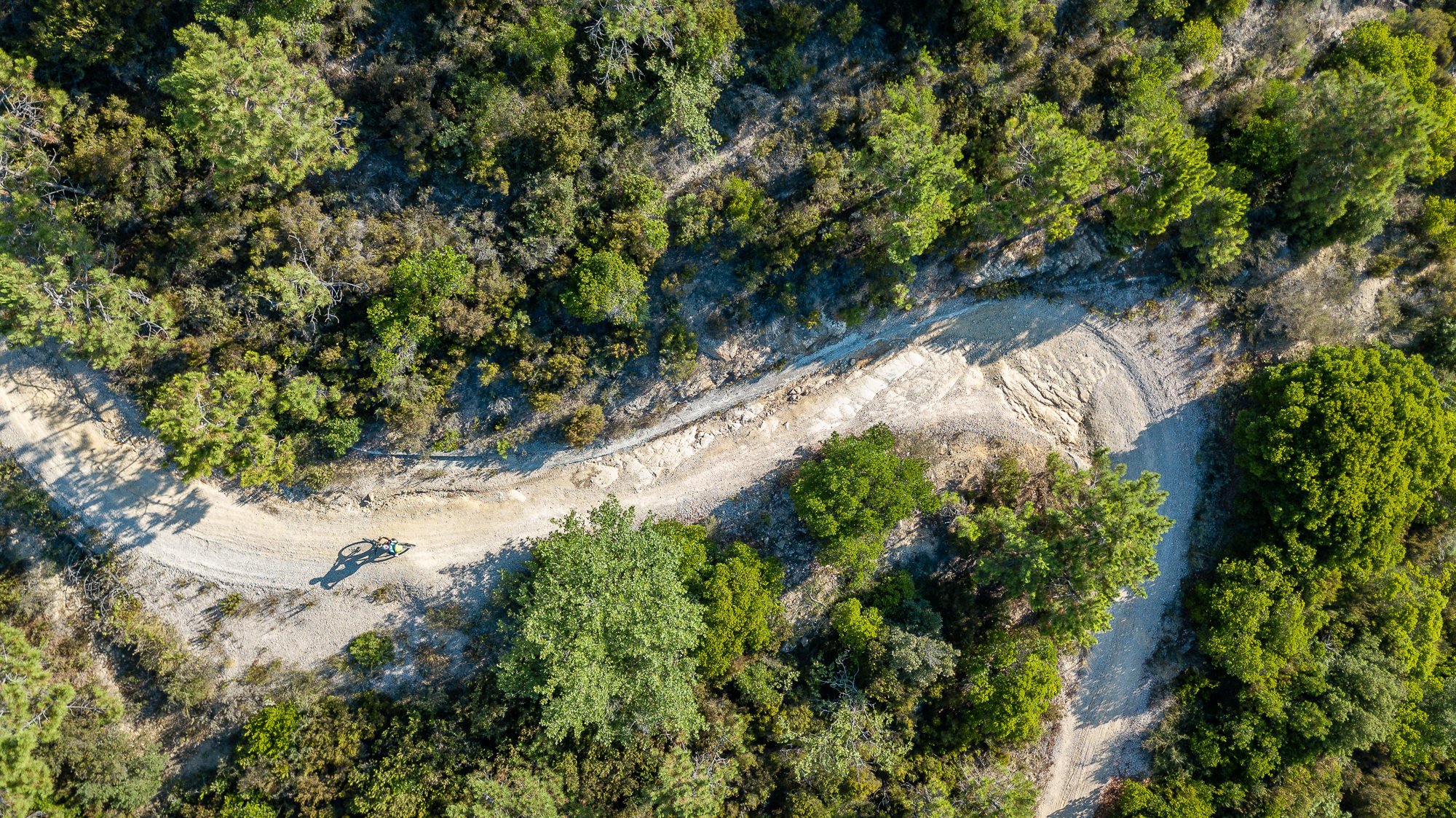
This is the gateway to Monte Nero: a plateau on the mountain’s slopes, equipped as a rest area, from which the trails set off. The town council restored it by clearing an area that had partly been used as an illegal dump and creating a network of about ten kilometres of waymarked, geolocated routes, designed for hikers and cyclists in every season.
Father Viale’s chapel
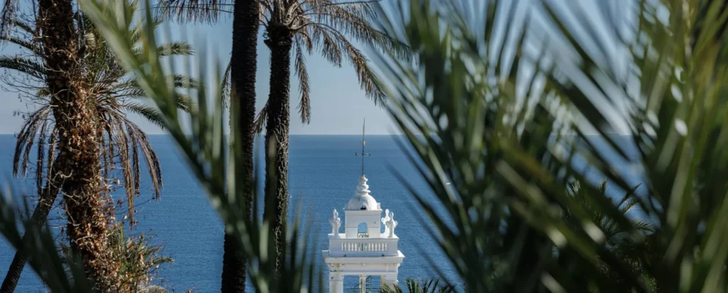
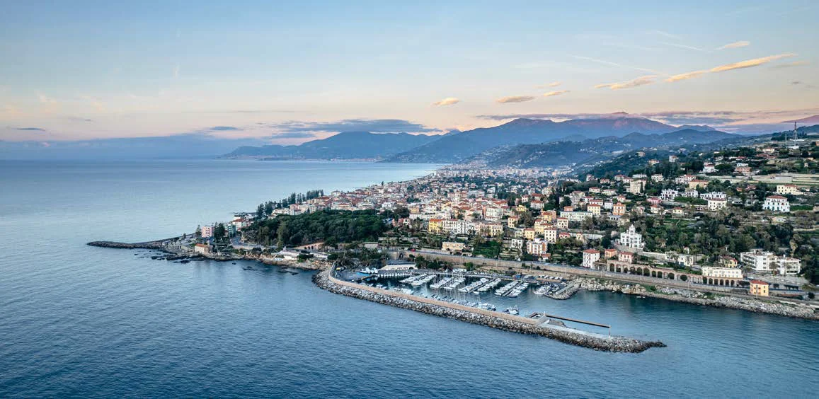
Lower down, on the slopes of the mountain above Arziglia, in Via Salve Regina at about 150 metres, stands the sanctuary of Nostra Signora del Monte Nero, founded in 1904 by Father Giacomo Viale, parish priest of Bordighera Alta, to mark fifty years since the dogma of the Immaculate Conception. From the terrace the view takes in Arziglia, the Sasso valley, Villa Garnier, the harbour and the old town.
The paragliding ramp and the summit
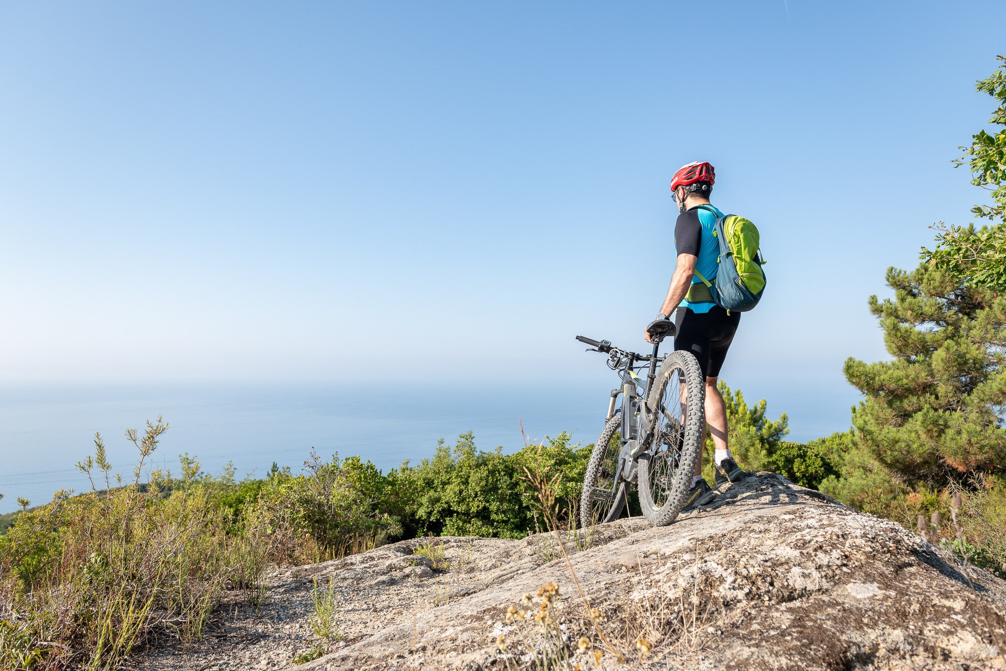
Just below the summit is the paragliding take-off ramp, one of the most panoramic points of the climb, looking out over the bay of Ospedaletti and the coast. The summit itself, on the other hand, is wrapped in vegetation and has no view: the best of Monte Nero is seen along the way.

Trails to the top
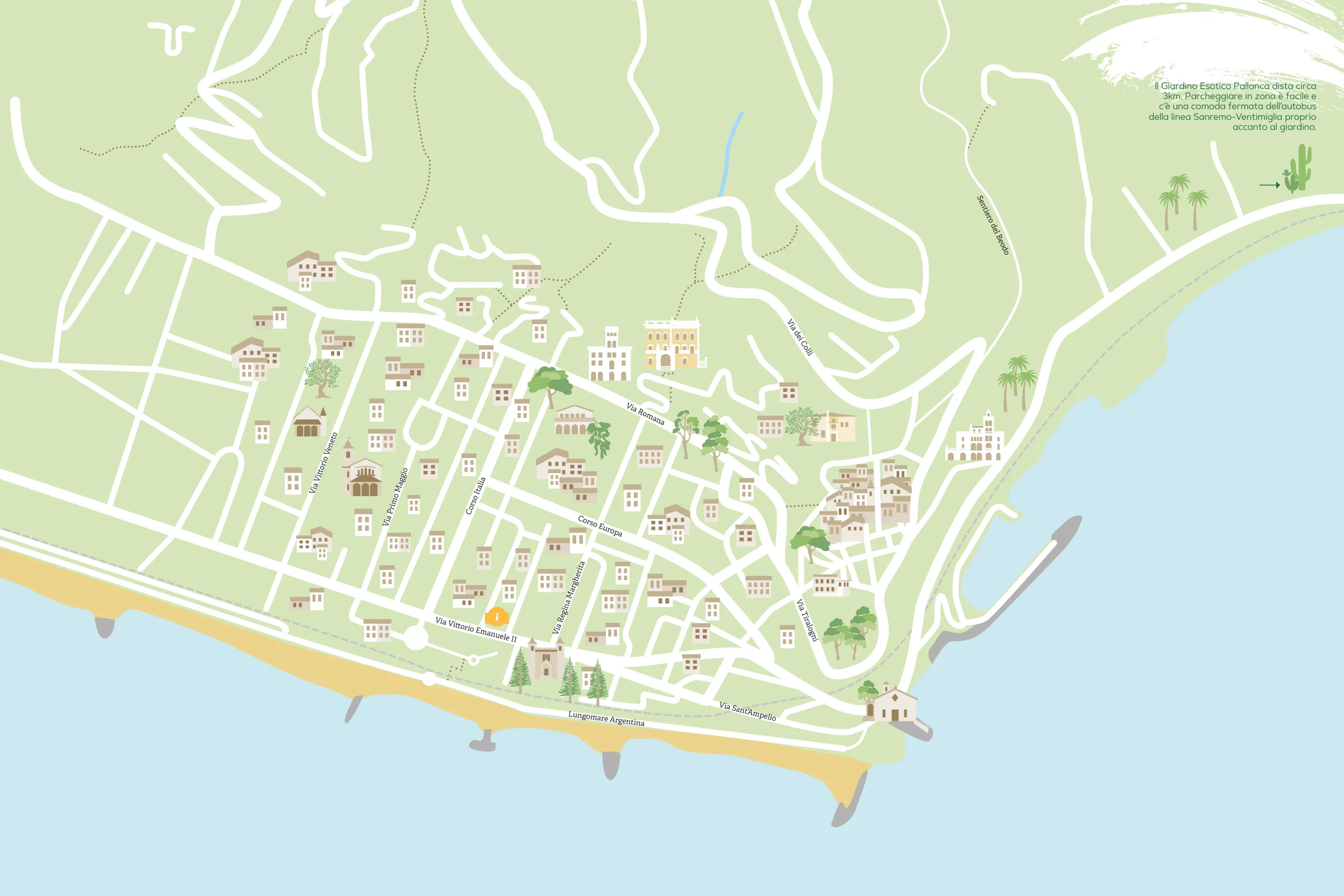
You can climb Monte Nero from several sides. The classic route starts from Bordighera Alta and follows the Sentiero del Beodo, the old aqueduct that crosses the palm grove and the olive trees of the Sasso valley. From the valley floor you climb towards Sasso and, via Via Pin du Ripò, reach the Monte Nero pass, at about 450 metres; from here a dirt road leads to the paragliding ramp and the summit. The ascent is almost six hundred metres: allow four to five hours there and back.
The other climb starts from Arziglia, along Via Cornice dei Due Golfi, a steep road that winds up through the greenery to the Cian d’Innamurai. From the summit you can then descend towards Seborga, the Passo del Ronco or the village of Sasso, and put together a loop to suit you.
Tips for your visit
- When to go: from autumn to spring. The slopes face south and the altitude is low: in summer it gets very hot, and if you do want to climb, choose the early morning.
- What to bring: plenty of water, as there are no fountains along the route, and hiking shoes with a good sole.
- Difficulty: an easy but long hike, within reach of anyone with a little walking fitness. By mountain bike the climb is demanding.
- Combine it with: the Sentiero del Beodo and the palm grove on the way up, and on the way back a visit to the Giardino Esotico Pallanca, down towards the sea.
Frequently asked questions
How high is Bordighera’s Monte Nero?
About six hundred metres above sea level. The summit is covered by vegetation, while the best viewpoints are the paragliding ramp and the lookouts along the climb.
Is Monte Nero really a volcano?
No. It is a popular belief: the mountain is made of sandstone laid down on the sea floor about seventy million years ago and then uplifted and folded when the Alps formed.
What is the Cian d’Innamurai?
It is the “lovers’ plateau”, an equipped plateau on the slopes of Monte Nero from which a network of about ten kilometres of waymarked trails sets off.
How long does the climb take?
Starting from Bordighera Alta along the Beodo, allow four to five hours there and back, with almost six hundred metres of ascent.
Can you ride up by mountain bike?
Yes, the trails are designed for cyclists too. The climb is steep and requires good fitness.