

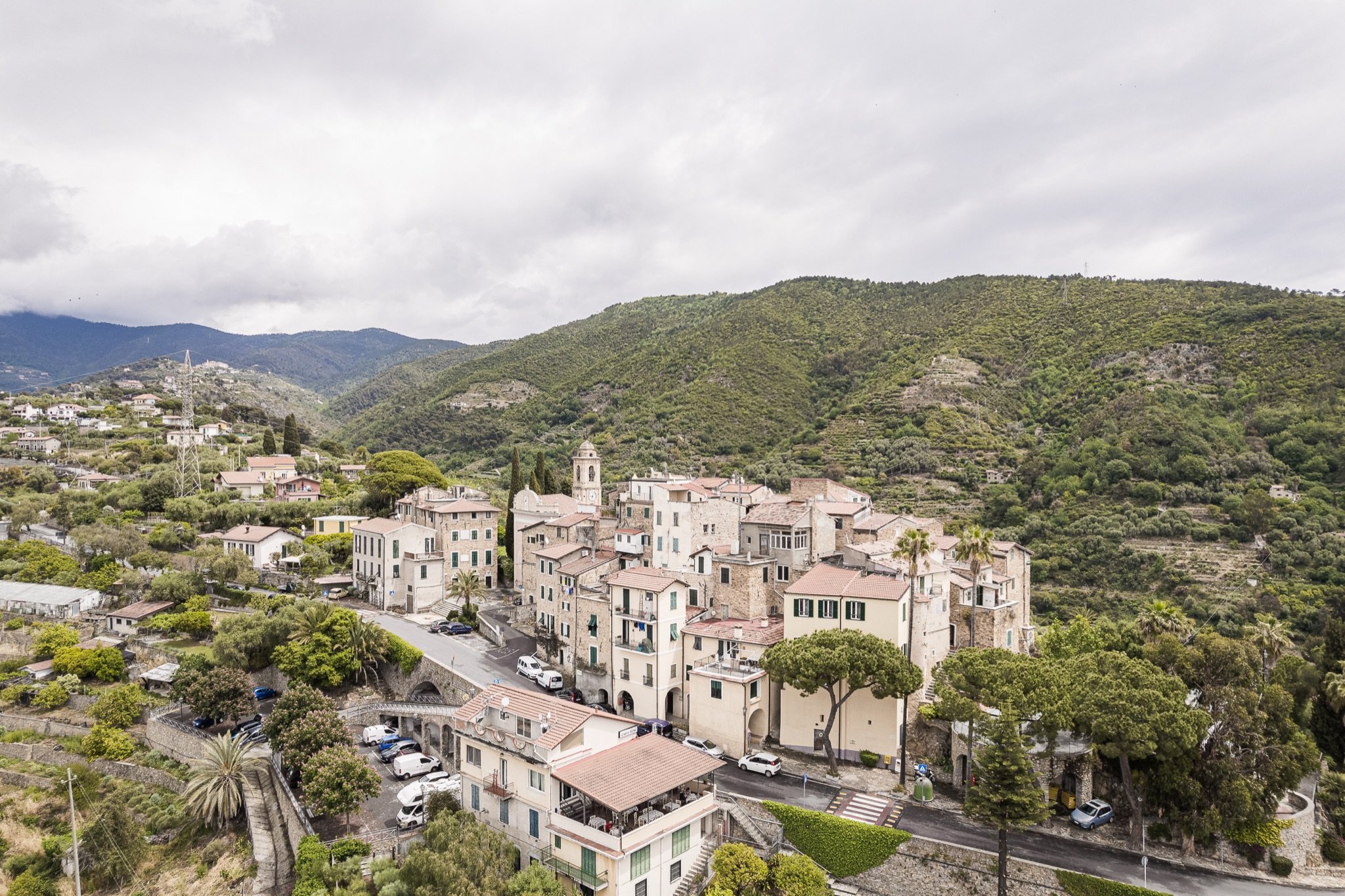
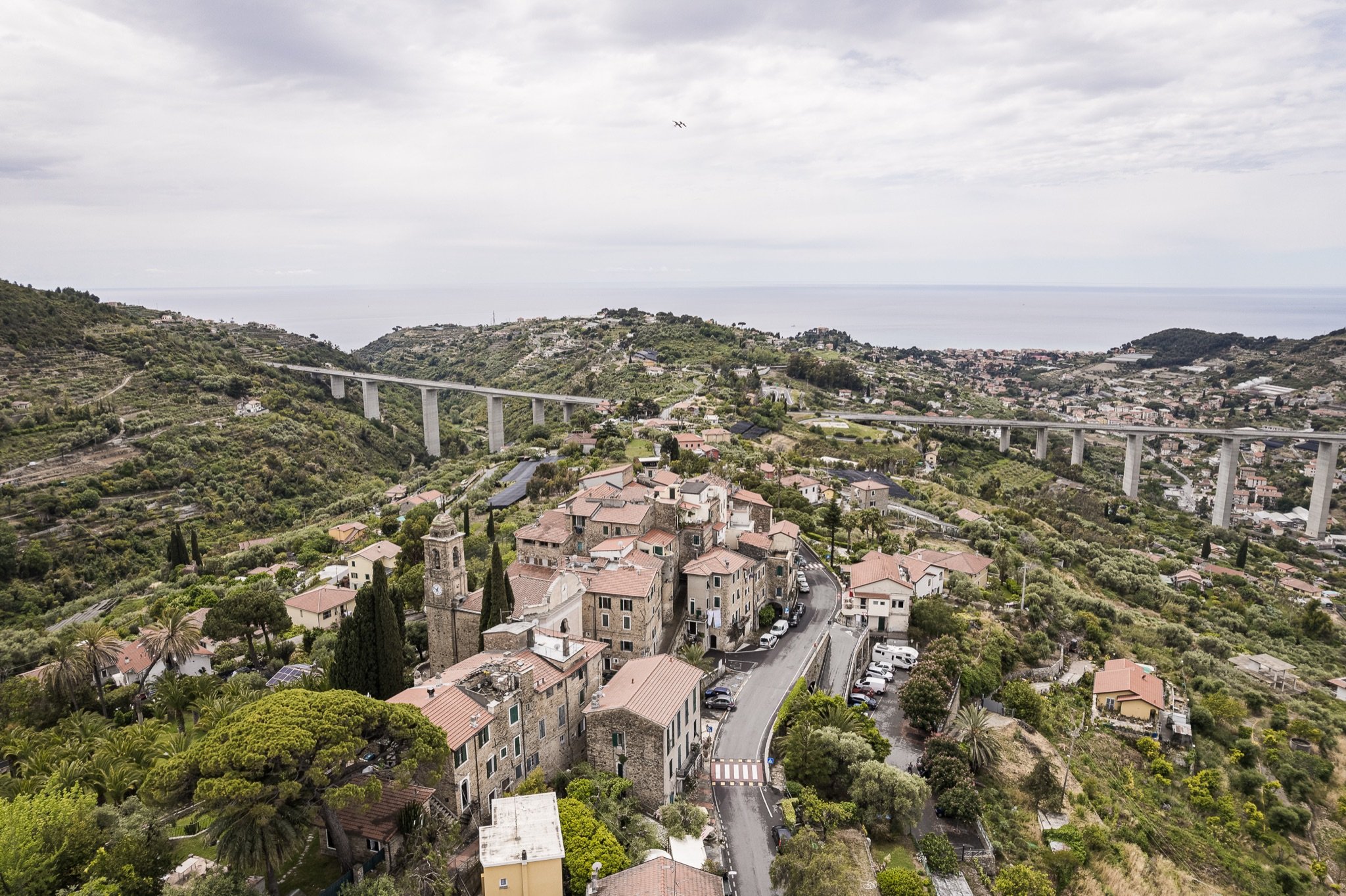
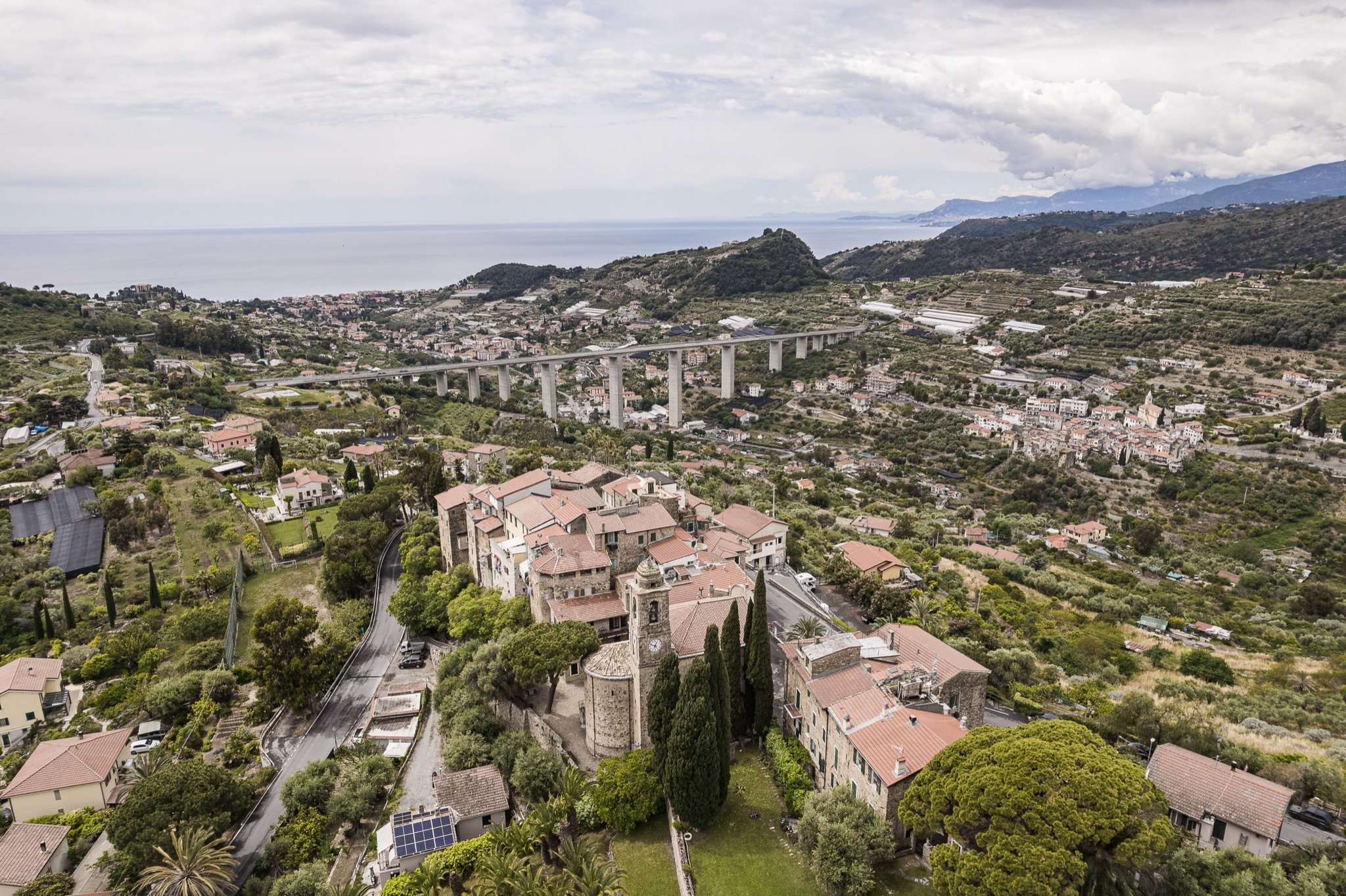
Sasso is Bordighera’s highest hamlet: a small stone village at 219 metres above sea level, on a rocky spur between the valley of the Borghetto stream and that of the Sasso stream. All around are olive terraces and dry-stone walls; in front, the view drops over the rooftops of Bordighera down to the sea.
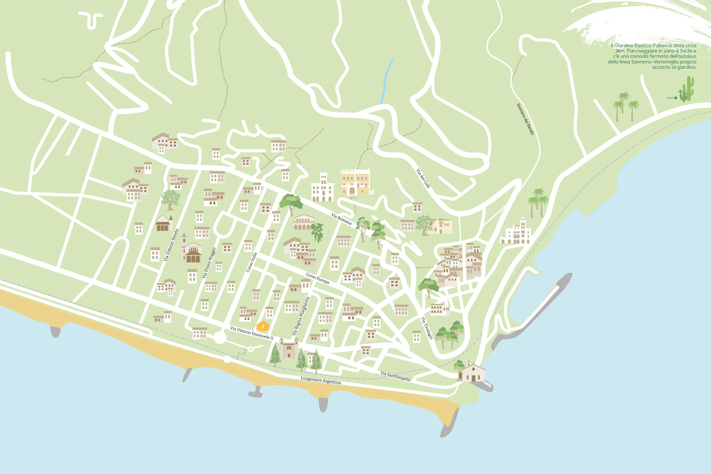
You can get there in a few minutes by car, or on foot from Bordighera Alta along the Sentiero del Beodo.
History
For centuries Sasso was a village in its own right. In 1686 it was one of the villages that broke away from Ventimiglia and founded the Magnifica Comunità degli Otto Luoghi (the “Eight Places”), together with Bordighera, Borghetto, Vallebona, Vallecrosia, Camporosso, San Biagio and Soldano. It remained an independent municipality until 1928, when it was merged with Bordighera together with Borghetto San Nicolò.
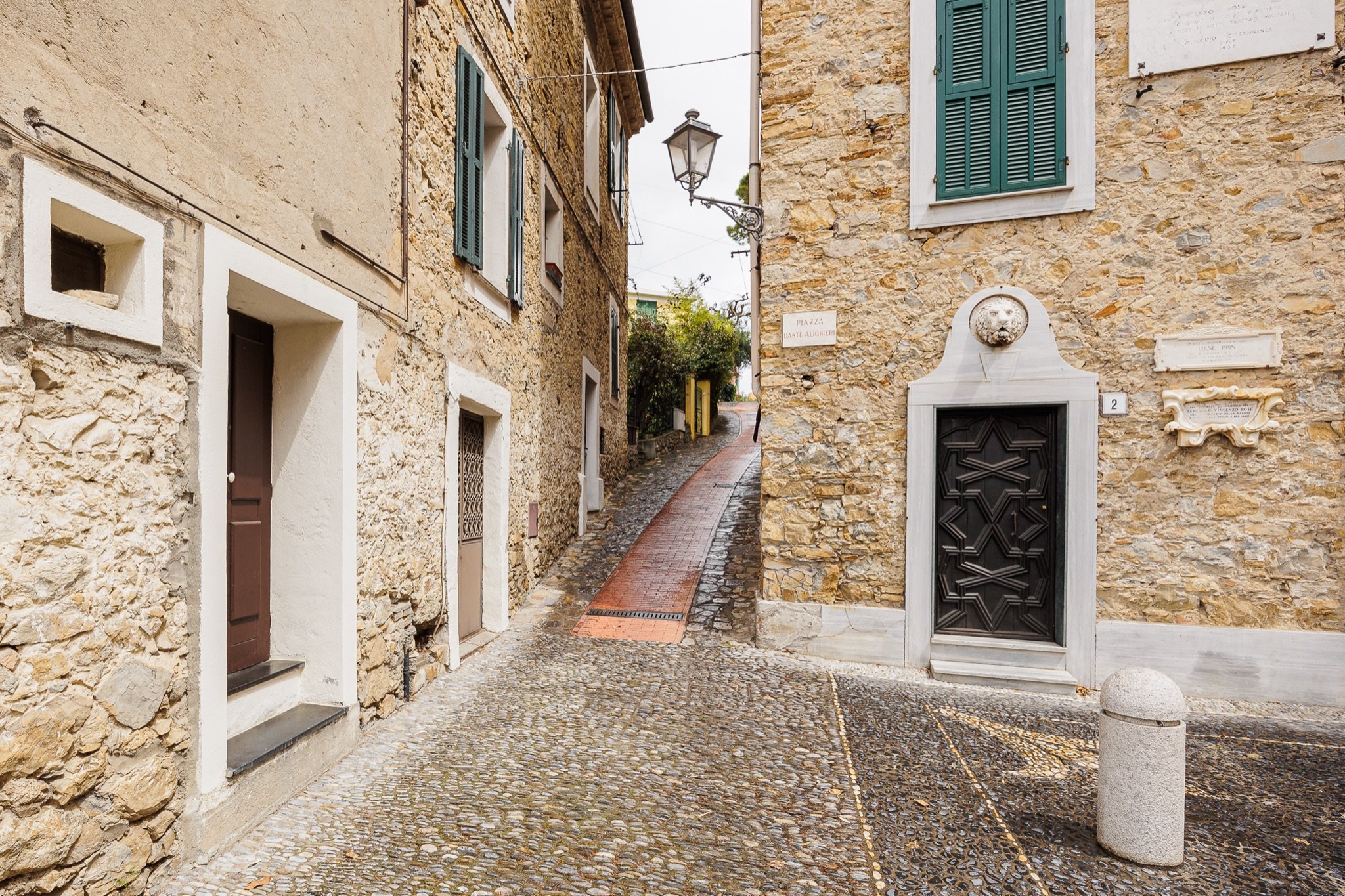
The tower houses and the remains of the walls tell of a past spent on the defensive: as in many villages of the Riviera, homes were also a refuge from raids from the sea.
What to see
The square and the church of Santi Pietro e Paolo
The heart of the village is the cobbled square in front of the parish church of Santi Pietro e Paolo, with its pink façade and bell tower. On the churchyard, set into the paving, is the inscription “U Falò”.
The carruggi and the tower houses
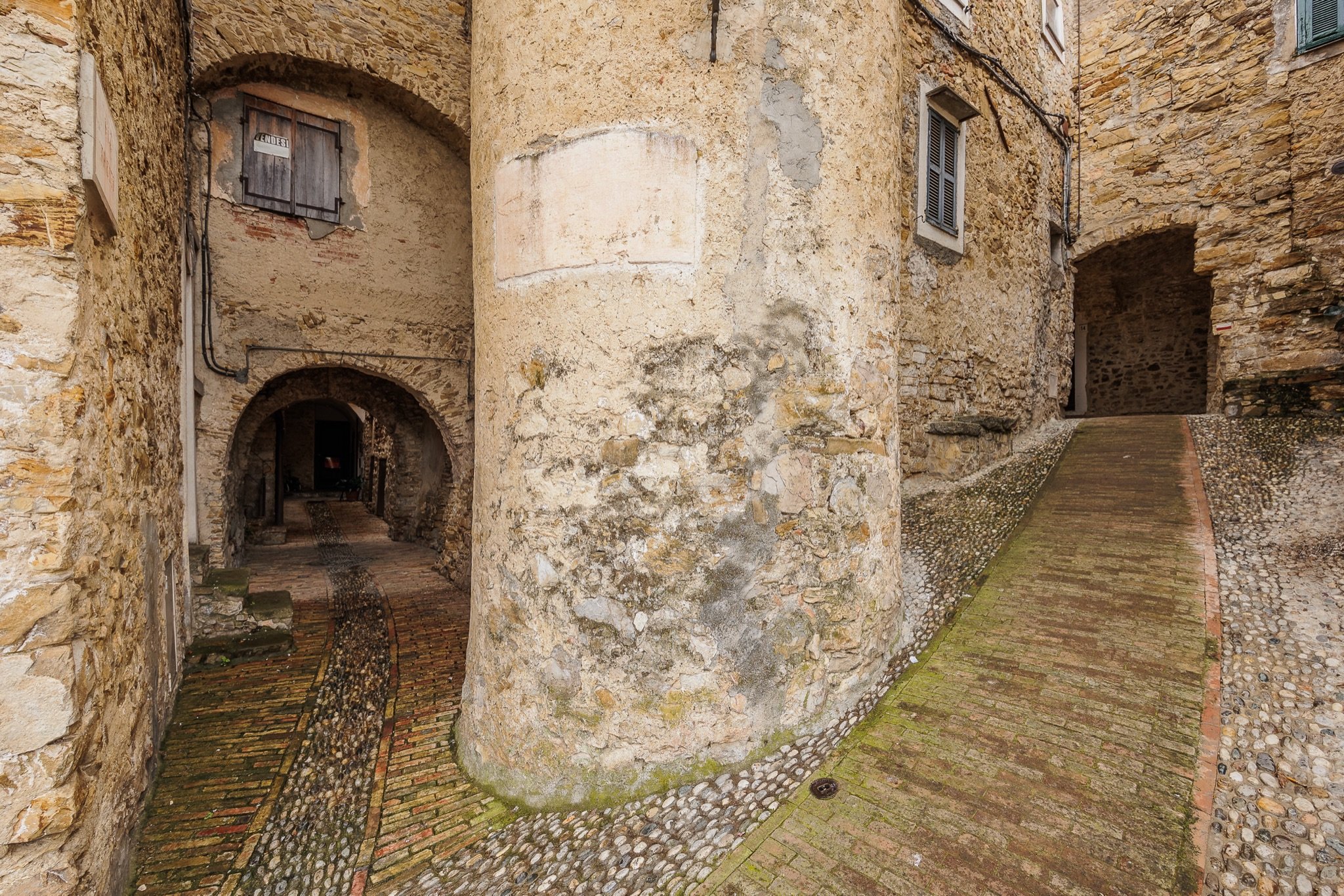
Just let the carruggi (narrow alleys) lead you: steep lanes with a strip of brick down the middle, vaulted passages, stone arches, a round tower with an outside staircase and small pebble mosaics in the paving of the little squares.
The view of the coast
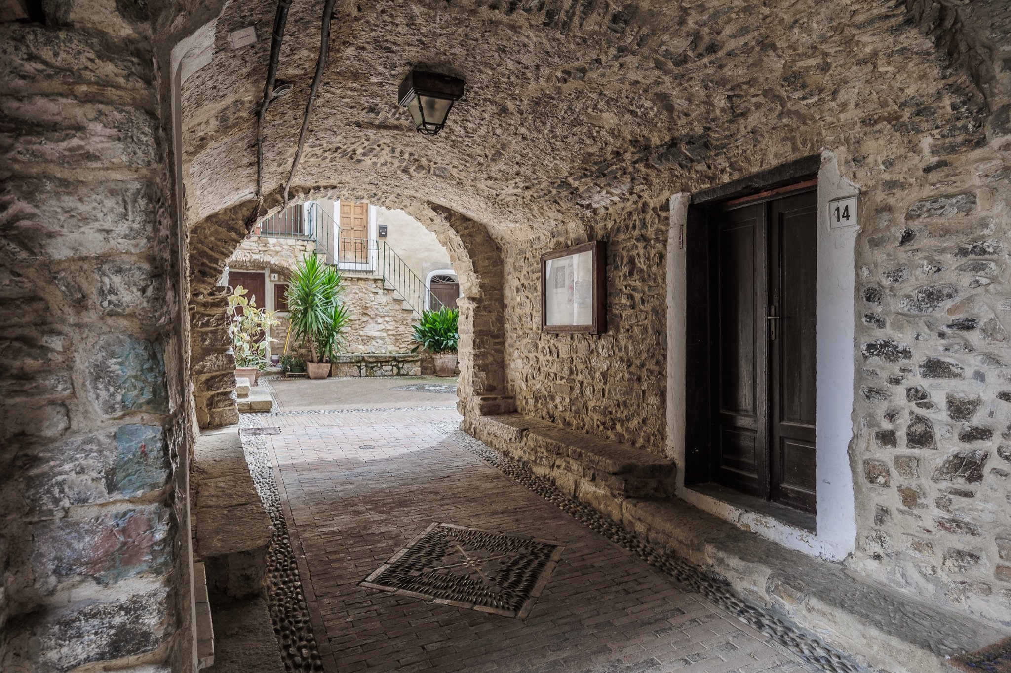
From the edges of the village your gaze runs over the olive terraces and the motorway viaduct and down to the sea and the coast.
The Sentiero del Beodo
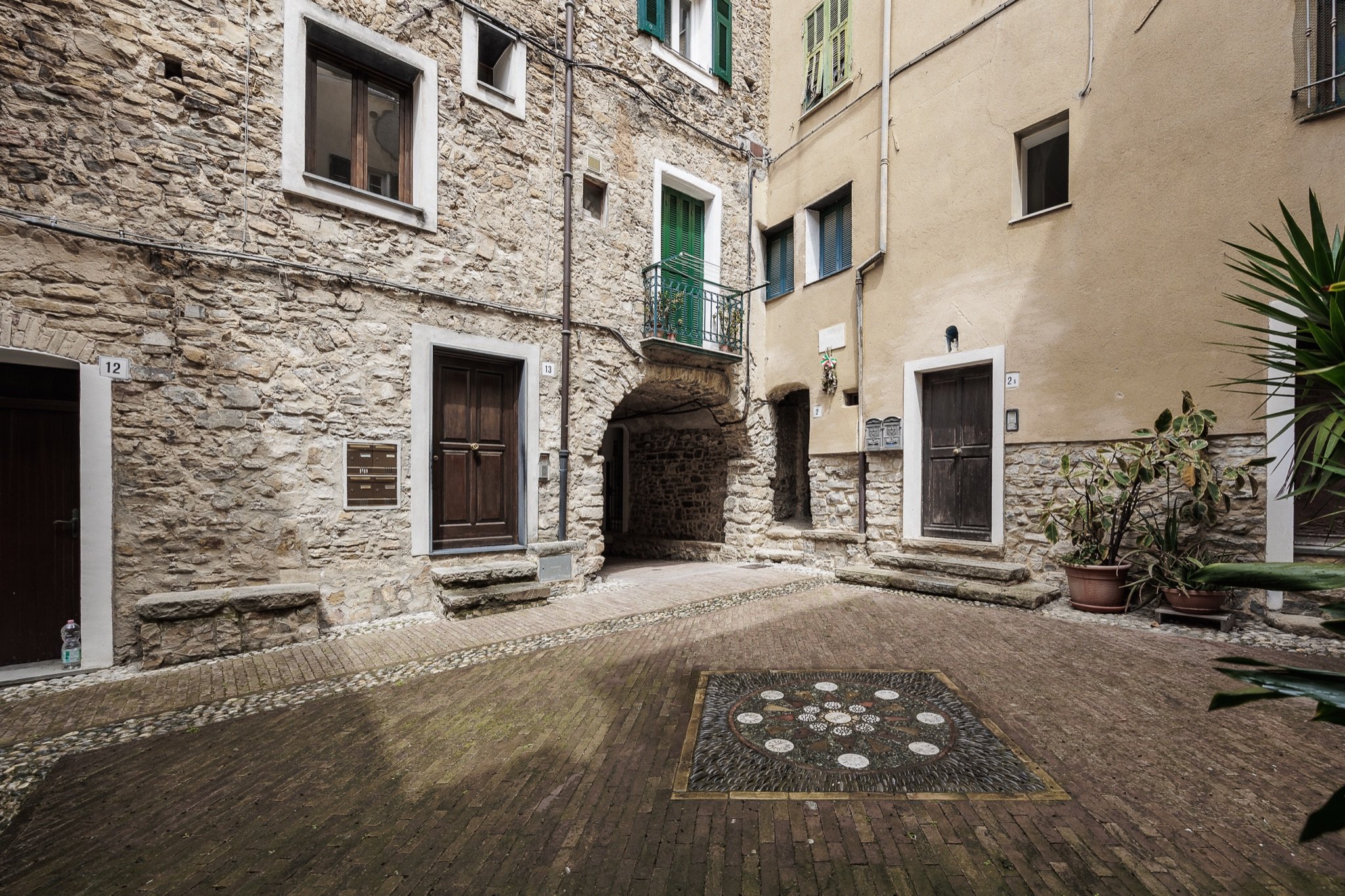
The loveliest way to reach Sasso is on foot. The Sentiero del Beodo starts from Bordighera Alta and climbs the Sasso valley along the old aqueduct, past the palm grove, the olive trees and the remains of old mills, up to the village. It is an easy walk, with about 180 metres of ascent.
Sasso in pictures
Tips for your visit
- How long you need: an hour for the village; half a day if you walk up along the Beodo.
- Getting there: by car, about 5 km from the centre of Bordighera on a hill road; on foot along the Sentiero del Beodo.
- Parking: the village can only be explored on foot; leave your car on the edge of the village.
- Combine it with: Borghetto San Nicolò and Vallebona in the next valley, Seborga higher up and Monte Nero.
Frequently asked questions
Where is Sasso di Bordighera?
On the hill behind Bordighera, at 219 metres, about 5 km by road from the centre. It is a hamlet of the municipality of Bordighera.
How do you get to Sasso on foot?
From Bordighera Alta along the Sentiero del Beodo, which climbs the Sasso valley along the old aqueduct: an easy route, suitable for everyone.
What is there to see in Sasso?
The square with the church of Santi Pietro e Paolo, the stone carruggi, the tower houses and the view of the coast.
Can you walk from Sasso to Seborga?
Yes, there are trails that climb from Sasso towards Seborga: it is a half-day hike, best done with a trail map.